Made with HiRISE: Galo Canizares

I’m a designer and educator based in Ohio. My work primarily revolves around the cultural ramifications of new and emerging technologies. For the past few years I’ve been researching how
simulation software can be used for performance art and how imaging technologies, such as photogrammetry, is changing the way we perceive the spaces around us. During this research I stumbled
upon HiRISE and I thought to myself, this is a really powerful example of how we as humans are developing an imaginary [narrative] around a planet we have never been to: Mars. And the deeper
I dove into the history of looking at Mars, the more I realized that humans have always been fascinated by the landscapes of the Red Planet, from Giovanni Schiaparelli to Matt Damon in “The Martian.”
My project tries to piece together a fragmentary visual narrative of Mars from the data sets collected by HiRISE. It is a way of using Big Data to tell a story. The story is neither completely
true nor completely false, rather it is reminiscent of 19th century field guides that sought to communicate the sublime qualities of nature. (
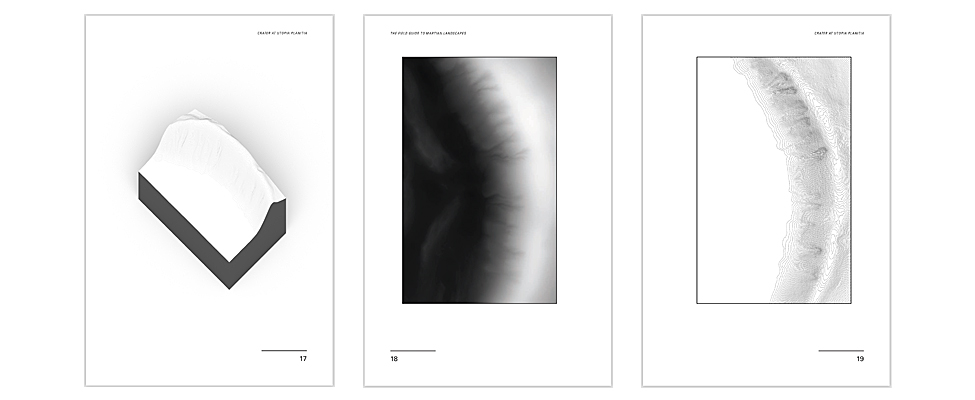
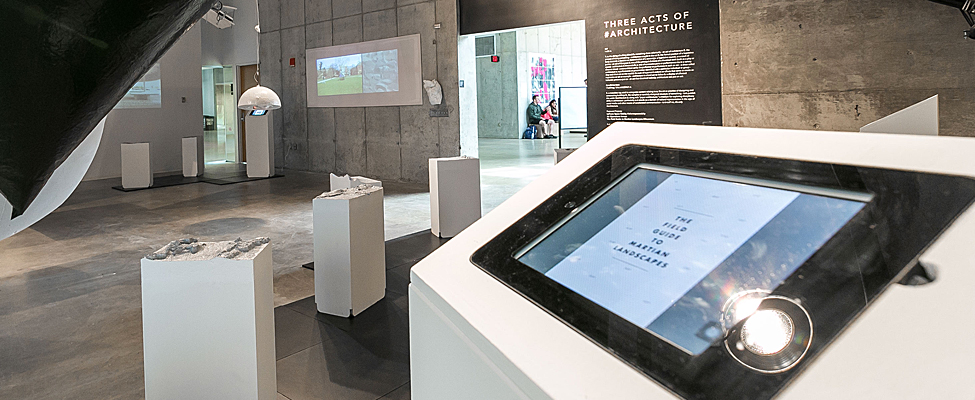
Download The Field Guide
to Martian Landscapes , PDF)
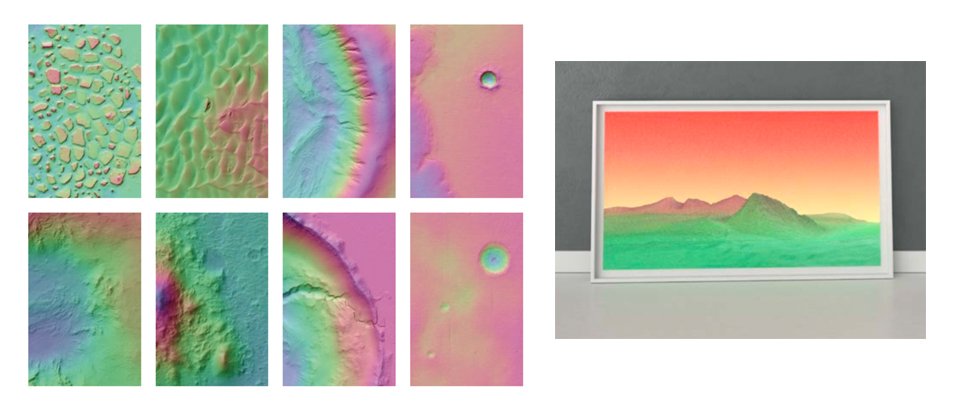
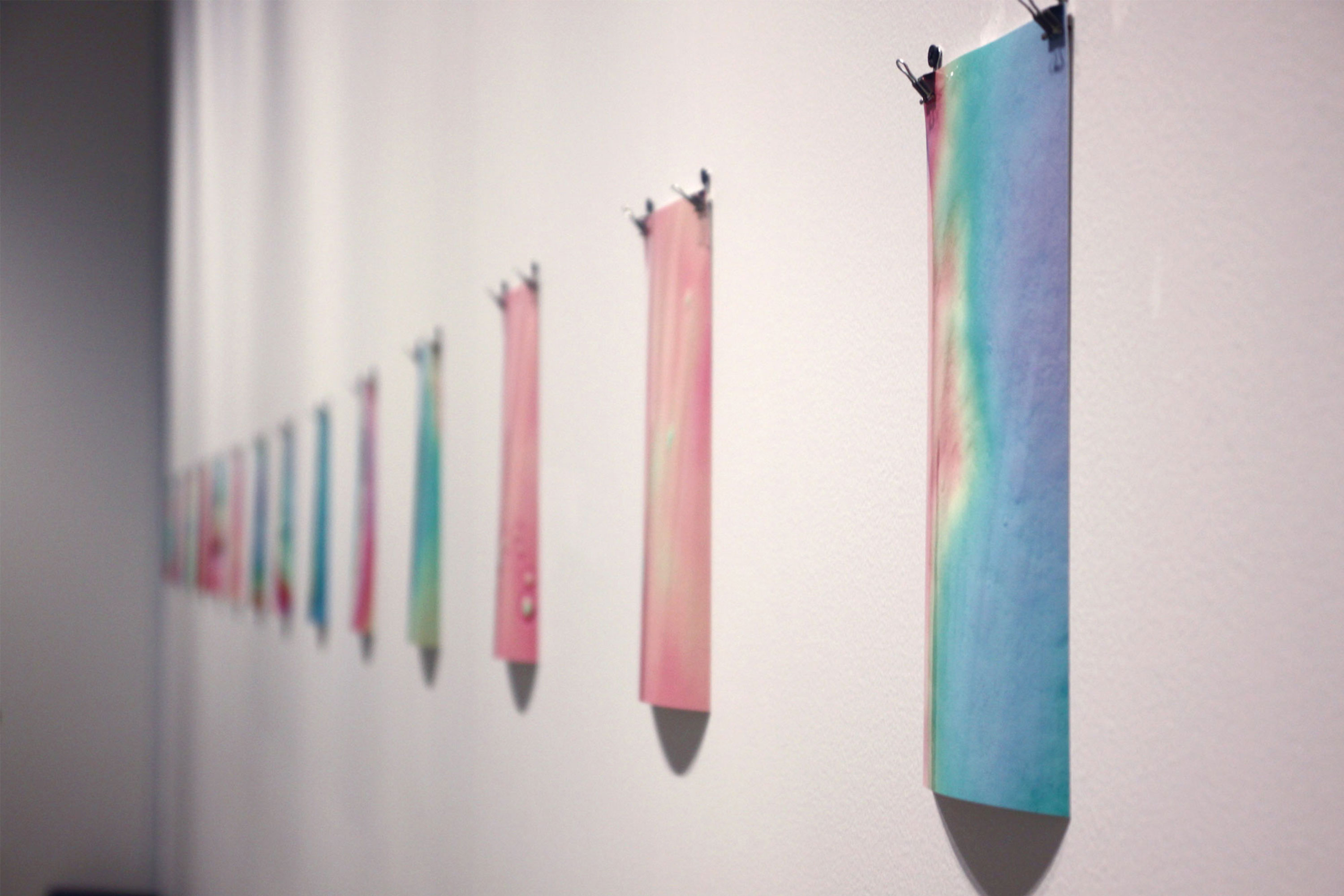
I extracted the data sets using MicroDEM, which allowed me to export both color imagery and black and white heightmaps. The heightmaps were then used in conjunction with displacement mesh modifiers
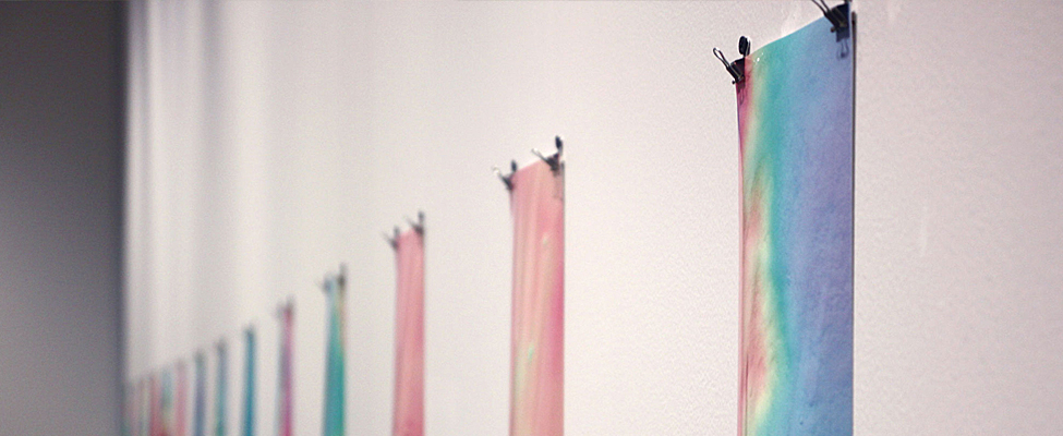
in Autodesk 3ds Max, and the color fields were layered on as textures. Using the colored height data as a graphic on top of the landscape gave them a their psychedelic look.
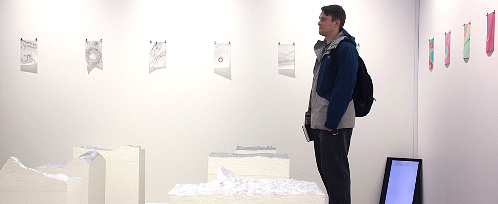
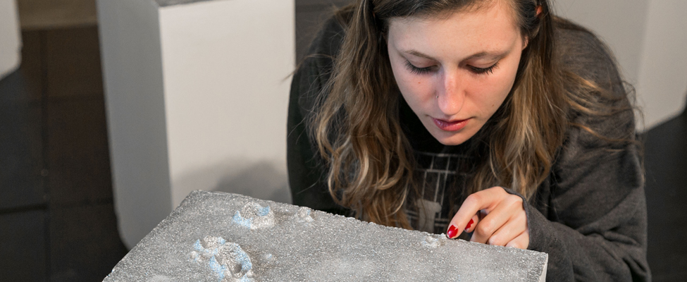
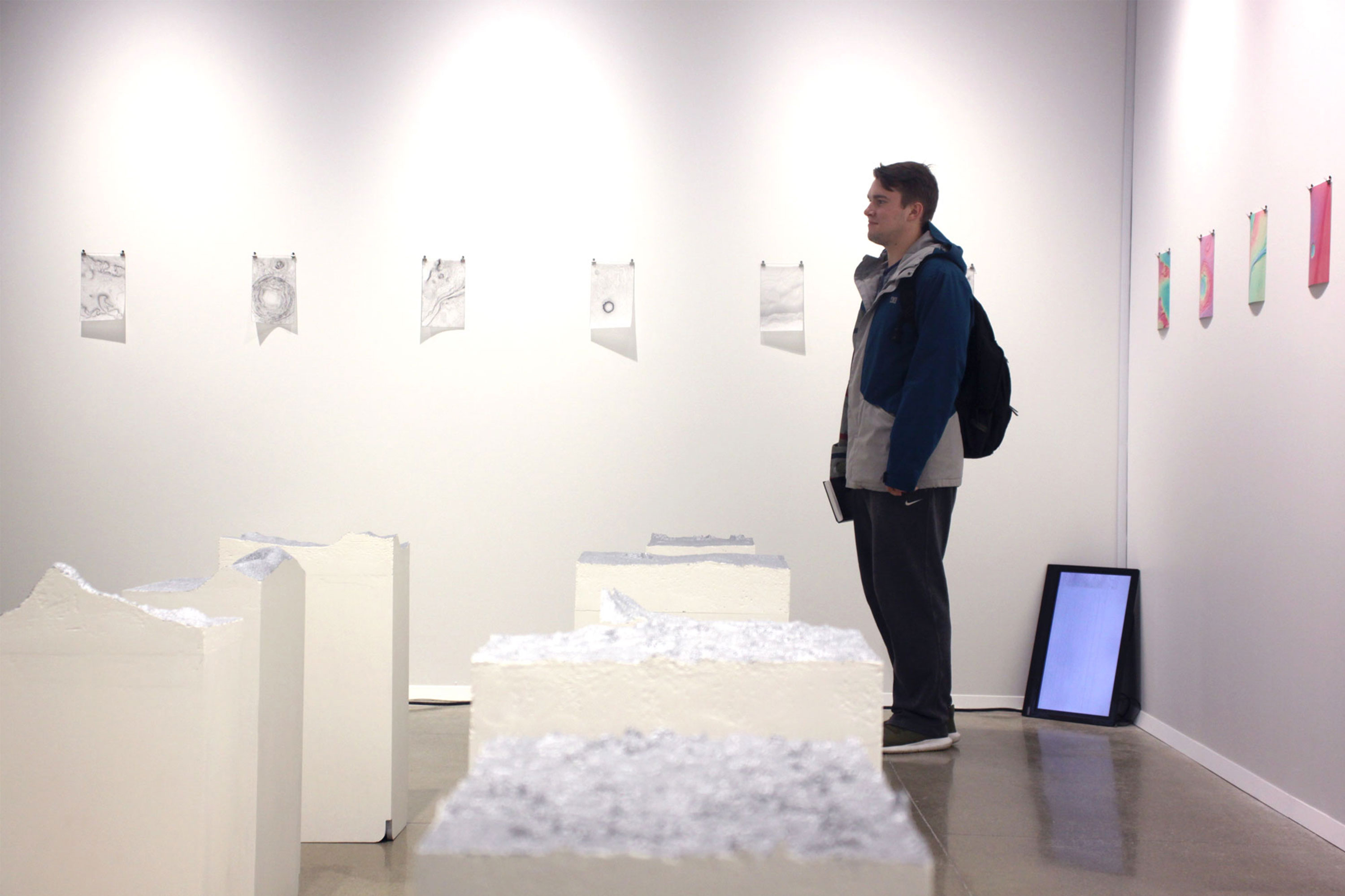
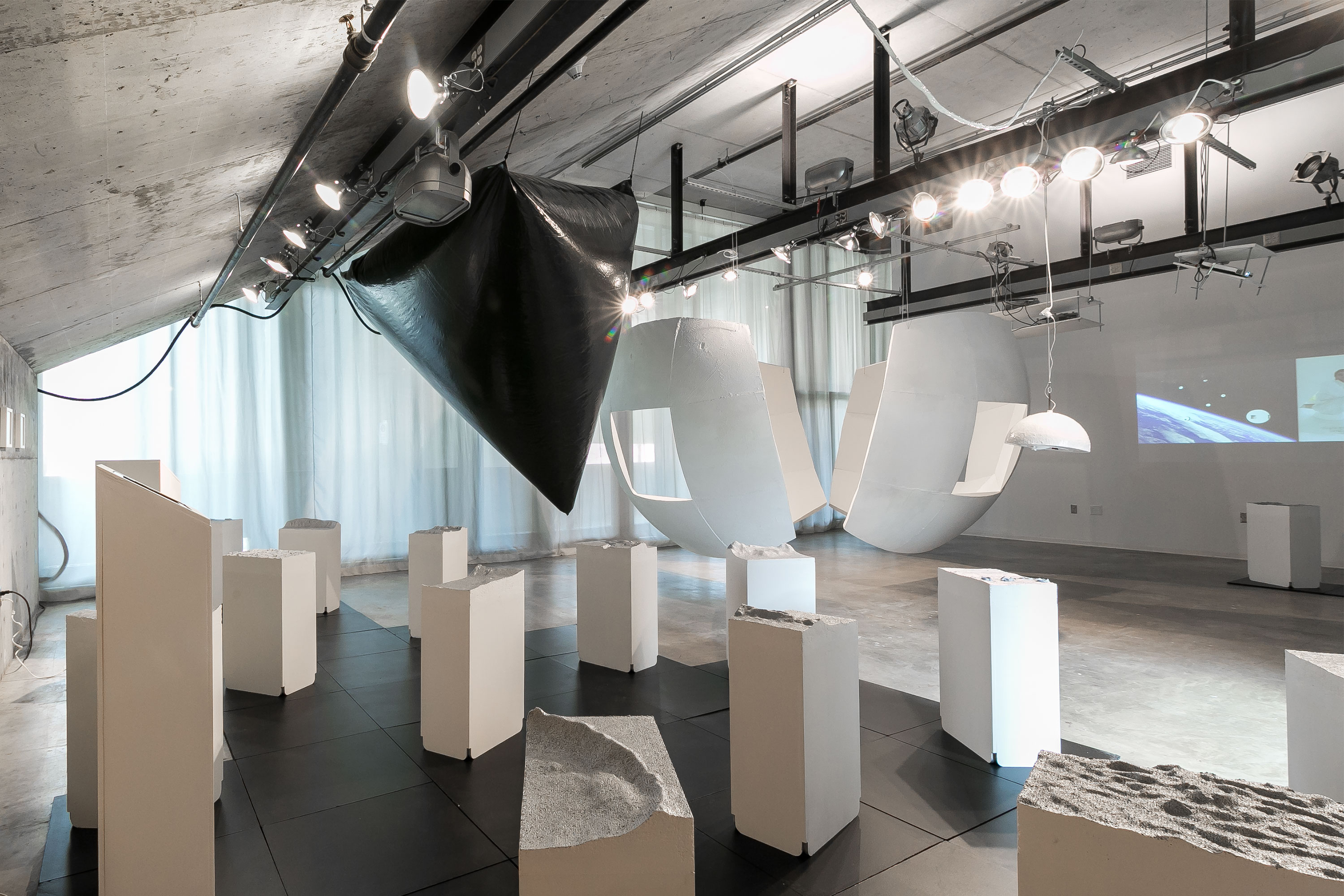
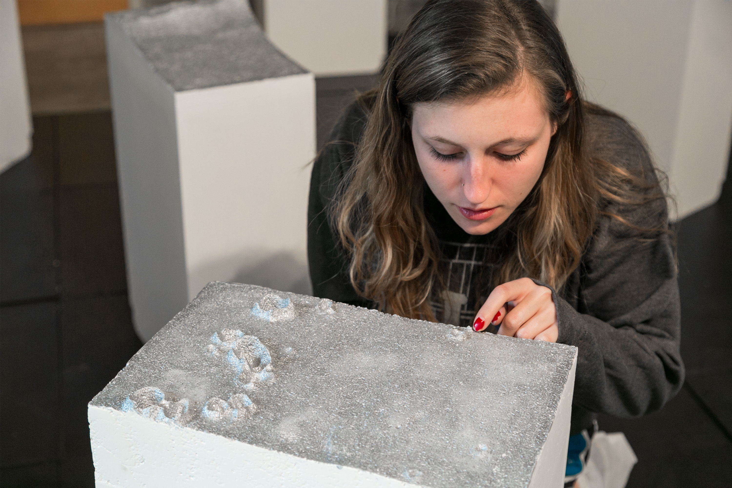
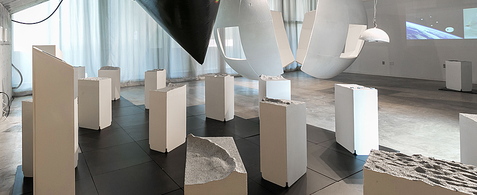
For the line drawings in the Field Guide, I used Rhino 3d to contour the meshes and extract vector linework. This linework also allowed the landscapes to be robotically carved out of polystyrene
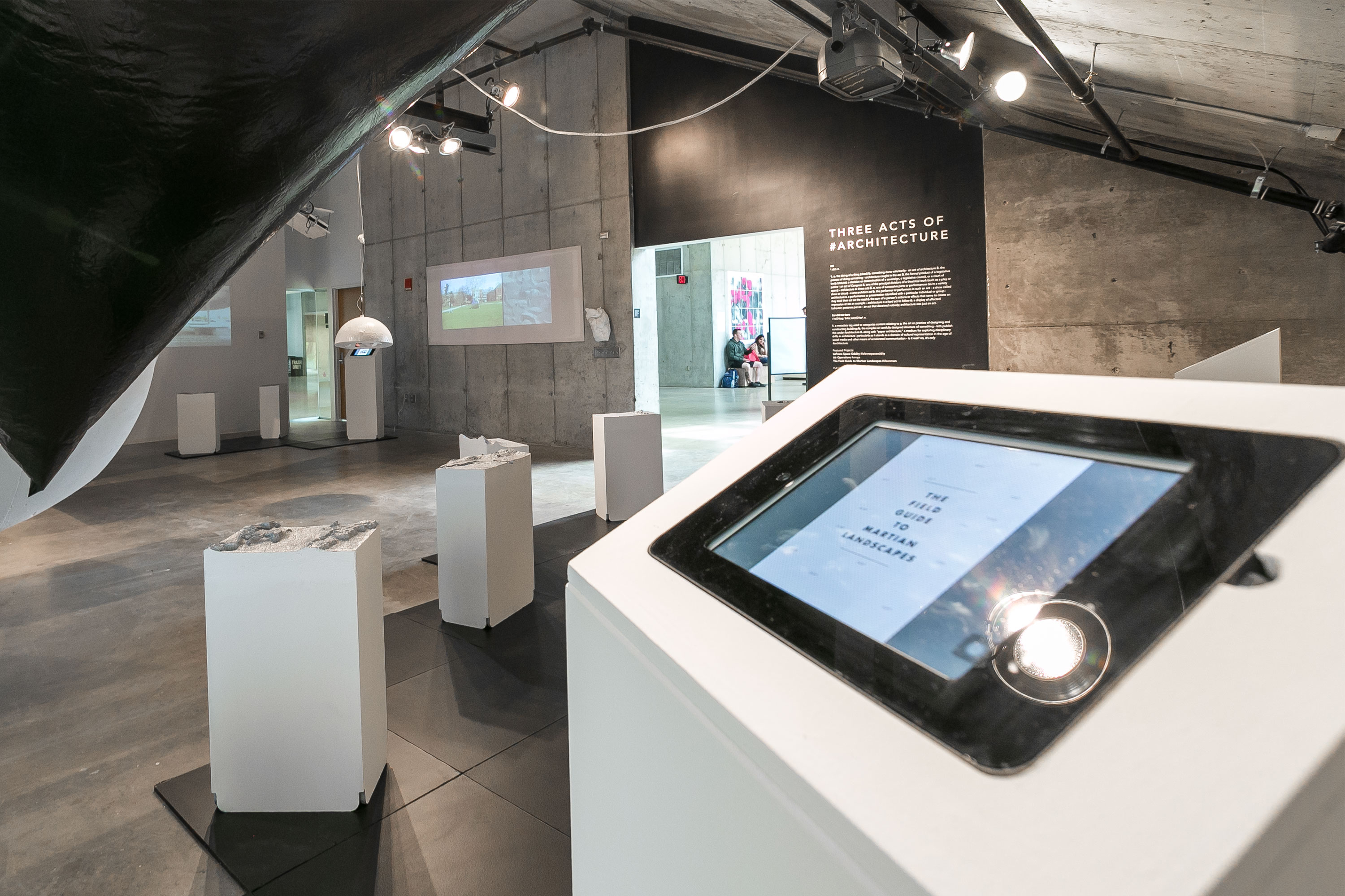
foam (also known as “CNC milling”) for an exhibition at the
Knowlton School of Architecture in Columbus, Ohio.
There’s a strange beauty in the images captured by HiRISE, especially when you look at the data sets in all their variations. I think the value of this imagery goes way beyond simply understanding
the geography of a neighboring planet. It reflects technological advancement and makes the cosmos more accessible. But more importantly, because it’s publicly available, it also enables new
approaches to both Big Data and space exploration that may come from unexpected cultural fields, like art, architecture, and literary fiction.