Nili Fossae
 Highlighted Portion of HiRISE Image TRA_000870_1995
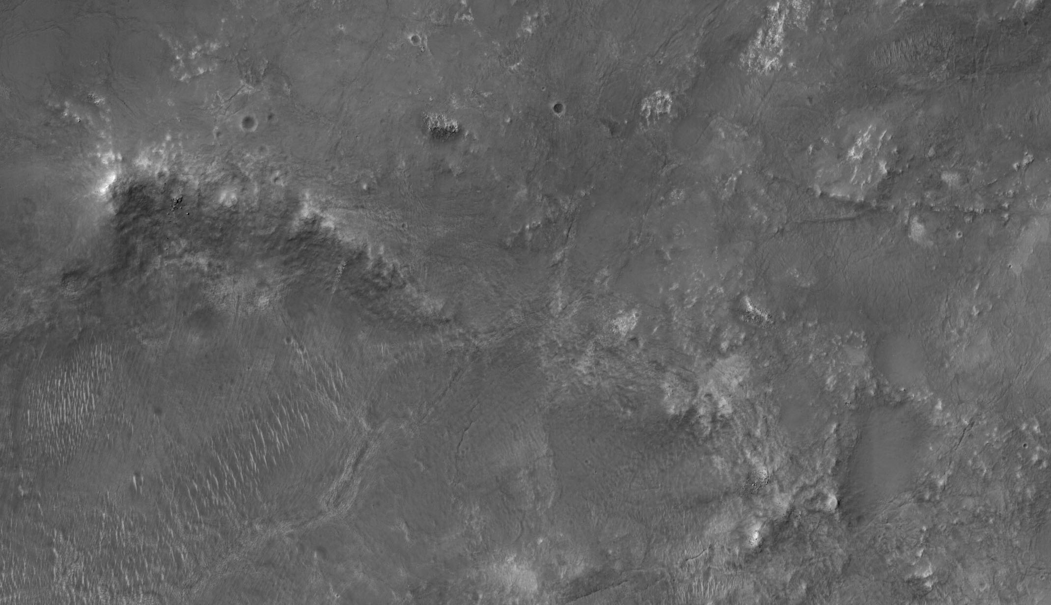
This is a portion of a HiRISE image taken of the Nili Fossae region of Mars. An escarpment divides the left side of the image, with loose debris visible on the upper part of the slope. Individual boulders 1-3 meters across can be seen. Streaks of what may be fine-grained dust trail down the slope, and cutting across these at a slight angle are narrow, linear light-toned dunes or ripples that probably were formed by winds blowing perpendicular to the trend of the features. Just above the escarpment, several small (6-20 meter) craters can be seen. Their muted topography may be due to partial burial by wind-blown materials. The flat terrain north of the escarpment is dissected by a network of narrow ridges and troughs, most visible in the upper left corner of the image. Nili Fossae is a series of parallel arcing troughs that trace the northwest boundary of the Isidis impact basin. These troughs, which are up to tens of km (over ten miles) across, are probably grabens (sunken blocks bounded by faults) that may have formed in response to subsidence of the Isidis basin under the weight of lavas from the Syrtis volcano. Clay minerals have recently been detected in this region by the OMEGA instrument on Mars Express, perhaps suggesting a watery past and making Nili Fossae a possible landing site for a future mission.
Image TRA_000870_1995 was taken by the High Resolution Imaging Science Experiment (HiRISE) camera onboard the Mars Reconnaissance Orbiter spacecraft on October 3, 2006. The complete image is centered at 19.3 degrees latitude, 74.0 degrees East longitude. The range to the target site was 277.2 km (173.3 miles). At this distance the image scale ranges from 55.5 cm/pixel (with 2 x 2 binning) to 110.9 cm/pixel (with 4 x 4 binning). The image shown here [below] has been map-projected to 50 cm/pixel and north is up. The image was taken at a local Mars time of 3:24 PM and the scene is illuminated from the west with a solar incidence angle of 48 degrees, thus the sun was about 42 degrees above the horizon. At a solar longitude of 115.2 degrees, the season on Mars is Northern Summer.
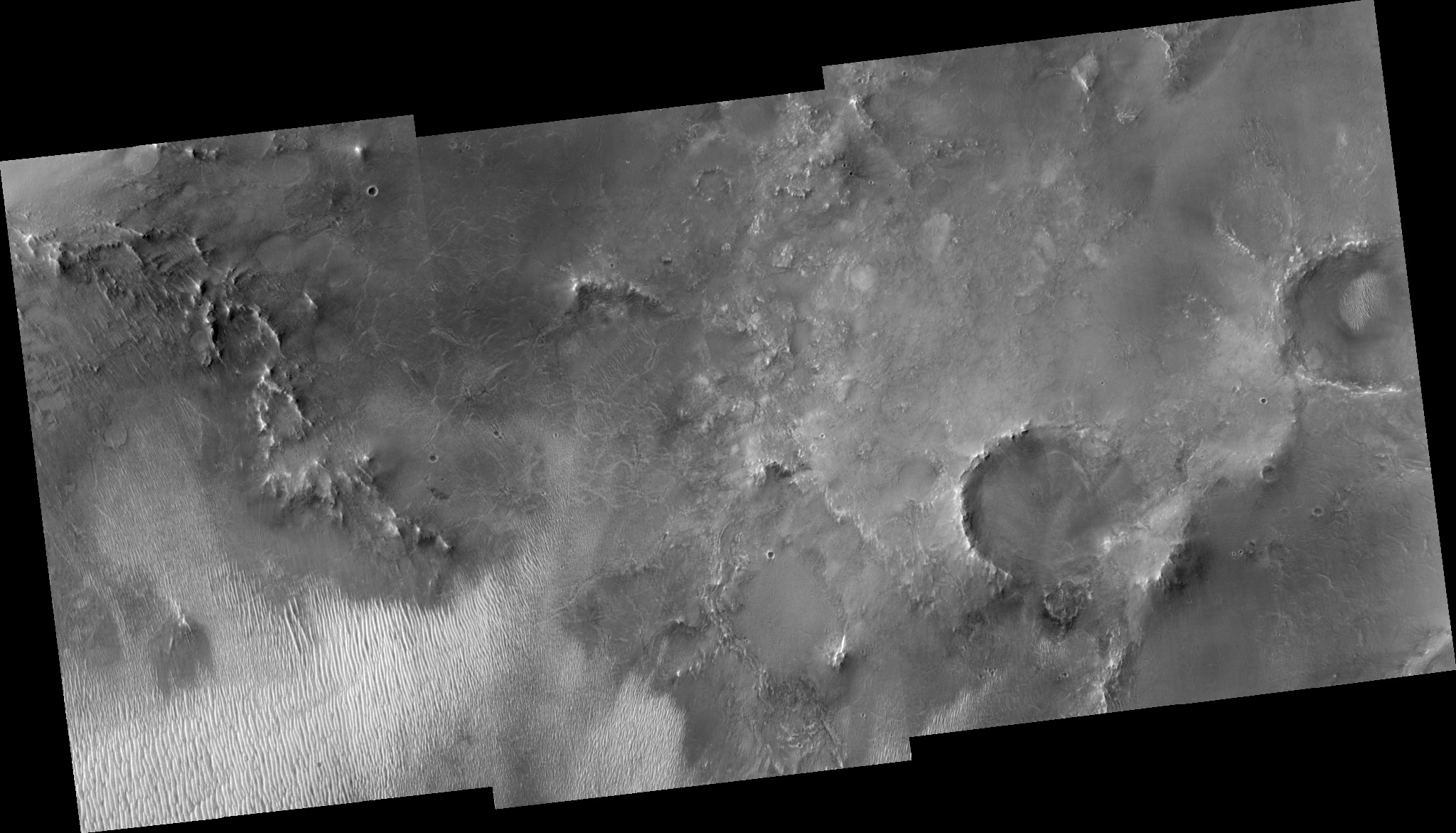 HiRISE Image TRA_000870_1995
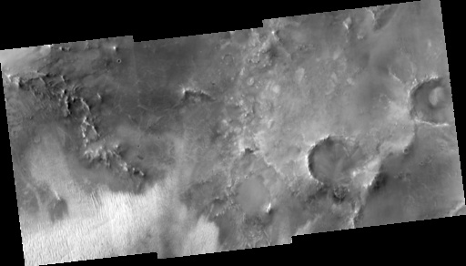
Images from the High Resolution Imaging Science Experiment and additional information about the Mars Reconnaissance Orbiter are available online at:
http://hirise.lpl.arizona.edu/
or
For information about NASA and agency programs on the Web, visit: http://www.nasa.gov. NASA's Jet Propulsion Laboratory, a division of the California Institute of Technology in Pasadena, manages the Mars Reconnaissance Orbiter for NASA's Science Mission Directorate, Washington. Lockheed Martin Space Systems is the prime contractor for the project and built the spacecraft. The HiRISE camera was built by Ball Aerospace and Technology Corporation and is operated by the University of Arizona.