Wrinkle Ridge and Rough-Textured Flow in Elysium Planitia
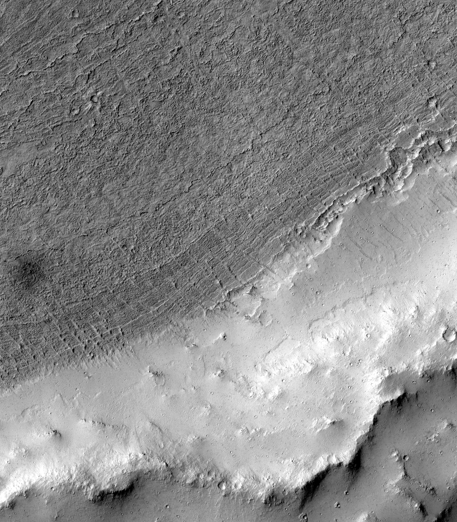 Highlighted Portion of HiRISE Image TRA_000867_1875
This sub-image shows a small section of the Elysium Planitia region of Mars. A low, sinuous tectonic ridge called a wrinkle ridge can be seen in the southeast (lower right) and a rough-textured flow (perhaps lava) fills the northwest (upper left) part of the image. Terraces that may have been carved by floodwaters are visible on the southeast side of the contact between the wrinkle ridge and the flow. On the northwest side of this contact, the flow itself has a banded appearance reminiscent of contour lines or bathtub rings. It may be that long ago, when the flow was mobile, its surface level dropped, leaving these bands as indicators of how high it once stood. Alternatively, the bands could be buried terraces draped by the rough-textured flow. Relatively straight and narrow dunes (most about 10 meters wide) have marched across the surface of the flow, and a thin layer of light-toned dust blankets the region. A dark spot about 100 meters in diameter on the right side of the sub-image is probably where a cluster of small impacts blew away the dust, revealing the darker shade of the underlying surface. A small crater (2-3 meters wide) from another impact can be seen in the upper right corner. It is surrounded by rays of ejecta (fragmented material thrown out of the crater upon impact) that look slightly brighter than their surroundings. These bright rays are characteristic of secondary craters (those formed by rocks thrown ballistically from a larger impact) associated with Zunil Crater. This is the first HiRISE image that clearly shows a Zunil secondary impact crater.
Image TRA_000867_1875 was taken by the High Resolution Imaging Science Experiment (HiRISE) camera onboard the Mars Reconnaissance Orbiter spacecraft on October 3, 2006. The complete image is centered at 7.4 degrees latitude, 157.3 degrees East longitude. The range to the target site was 274.6 km (171.6 miles). At this distance the image scale ranges from 54.9 cm/pixel (with 2 x 2 binning) to 109.9 cm/pixel (with 4 x 4 binning). The image shown here [below] has been map-projected to 50 cm/pixel and north is up. The image was taken at a local Mars time of 3:26 PM and the scene is illuminated from the west with a solar incidence angle of 52 degrees, thus the sun was about 38 degrees above the horizon. At a solar longitude of 115.1 degrees, the season on Mars is Northern Summer.
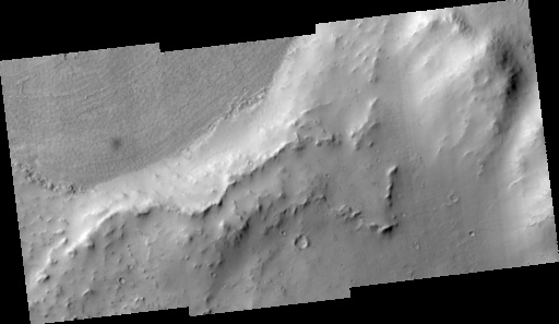
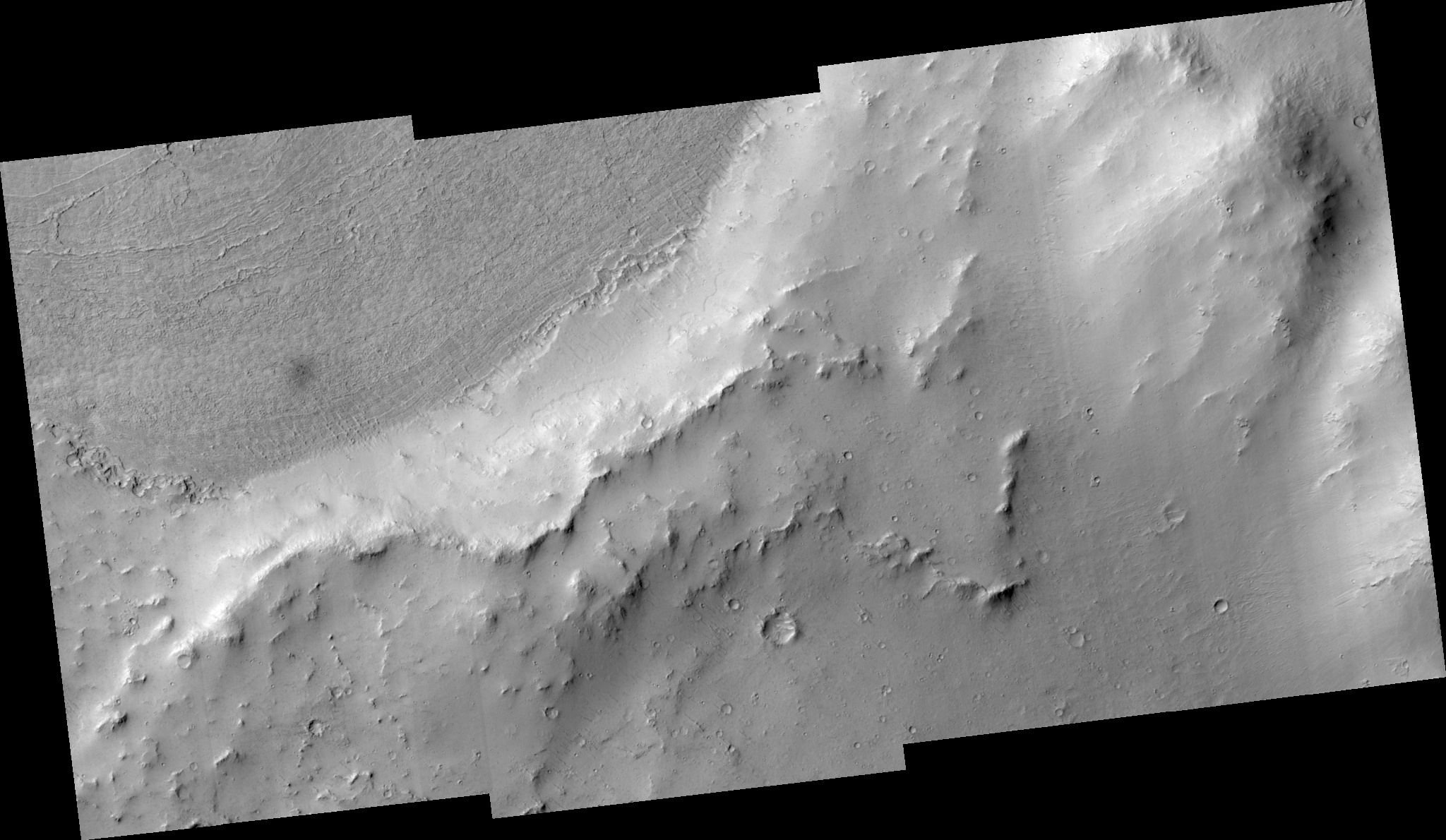 HiRISE Image TRA_000867_1875
Images from the High Resolution Imaging Science Experiment and additional information about the Mars Reconnaissance Orbiter are available online at:
http://hirise.lpl.arizona.edu/
or
For information about NASA and agency programs on the Web, visit: http://www.nasa.gov. NASA's Jet Propulsion Laboratory, a division of the California Institute of Technology in Pasadena, manages the Mars Reconnaissance Orbiter for NASA's Science Mission Directorate, Washington. Lockheed Martin Space Systems is the prime contractor for the project and built the spacecraft. The HiRISE camera was built by Ball Aerospace and Technology Corporation and is operated by the University of Arizona.