Streamlined Mesa and Channel Floor in Marte Vallis
 Highlighted Portion of HiRISE Image TRA_000866_1950
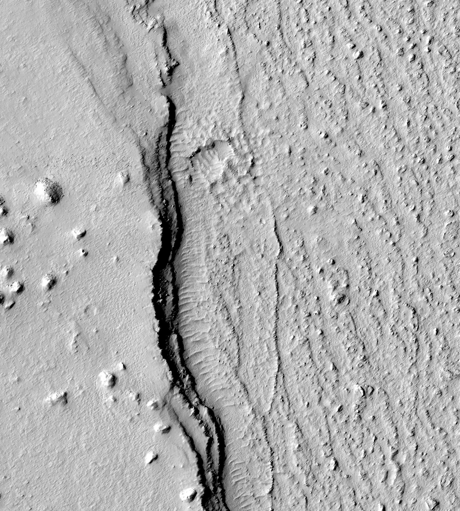
This sub-image shows a section of Marte Vallis, which is a flood-carved channel that may have been resurfaced by lava flows. The eastern edge of a streamlined mesa is visible on the left side of the sub-image. The floodwaters that shaped the mesa flowed from south to north. The top of the mesa is knobby and wind-eroded. Small, tapered mounds on both the mesa and the channel floor indicate that the wind blows predominantly from the northeast. At least three distinct, cliff-forming layers are visible in the approximately 30-meter-tall scarp at the edge of the mesa, and a narrow strip of dunes snakes along its base. A pair of sand-filled craters lies near the center of the sub-image, at the northern end of the dune field. The larger crater is about 60 meters in diameter. A narrow spray of small boulders extends west from the craters onto the adjacent mesa. These boulders were probably thrown from the craters upon impact. If so, it indicates that the craters excavated into rocky material. Rough-textured terrain (which could be lava) covers the channel floor. Ridges and knobs a few meters tall jut from its surface, but finer details are obscured by the light-colored dust that blankets the entire scene.
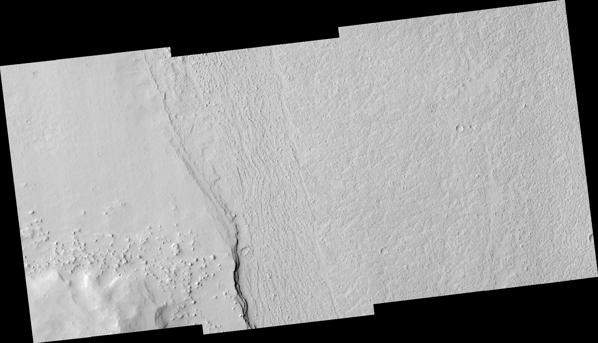
Image TRA_000866_1950 was taken by the High Resolution Imaging Science Experiment (HiRISE) camera onboard the Mars Reconnaissance Orbiter spacecraft on October 2, 2006. The complete image is centered at 14.0 degrees latitude, 183.8 degrees East longitude. The range to the target site was 280.0 km (175.0 miles). At this distance the image scale ranges from 56.0 cm/pixel (with 2 x 2 binning) to 112.0 cm/pixel (with 4 x 4 binning). The image shown here [below] has been map-projected to 50 cm/pixel and north is up. The image was taken at a local Mars time of 3:25 PM and the scene is illuminated from the west with a solar incidence angle of 49 degrees, thus the sun was about 41 degrees above the horizon. At a solar longitude of 115.1 degrees, the season on Mars is Northern Summer.
 HiRISE Image TRA_000866_1950
Images from the High Resolution Imaging Science Experiment and additional information about the Mars Reconnaissance Orbiter are available online at:
http://hirise.lpl.arizona.edu/
or
For information about NASA and agency programs on the Web, visit: http://www.nasa.gov. NASA's Jet Propulsion Laboratory, a division of the California Institute of Technology in Pasadena, manages the Mars Reconnaissance Orbiter for NASA's Science Mission Directorate, Washington. Lockheed Martin Space Systems is the prime contractor for the project and built the spacecraft. The HiRISE camera was built by Ball Aerospace and Technology Corporation and is operated by the University of Arizona.