Candor Chasma Wallrock
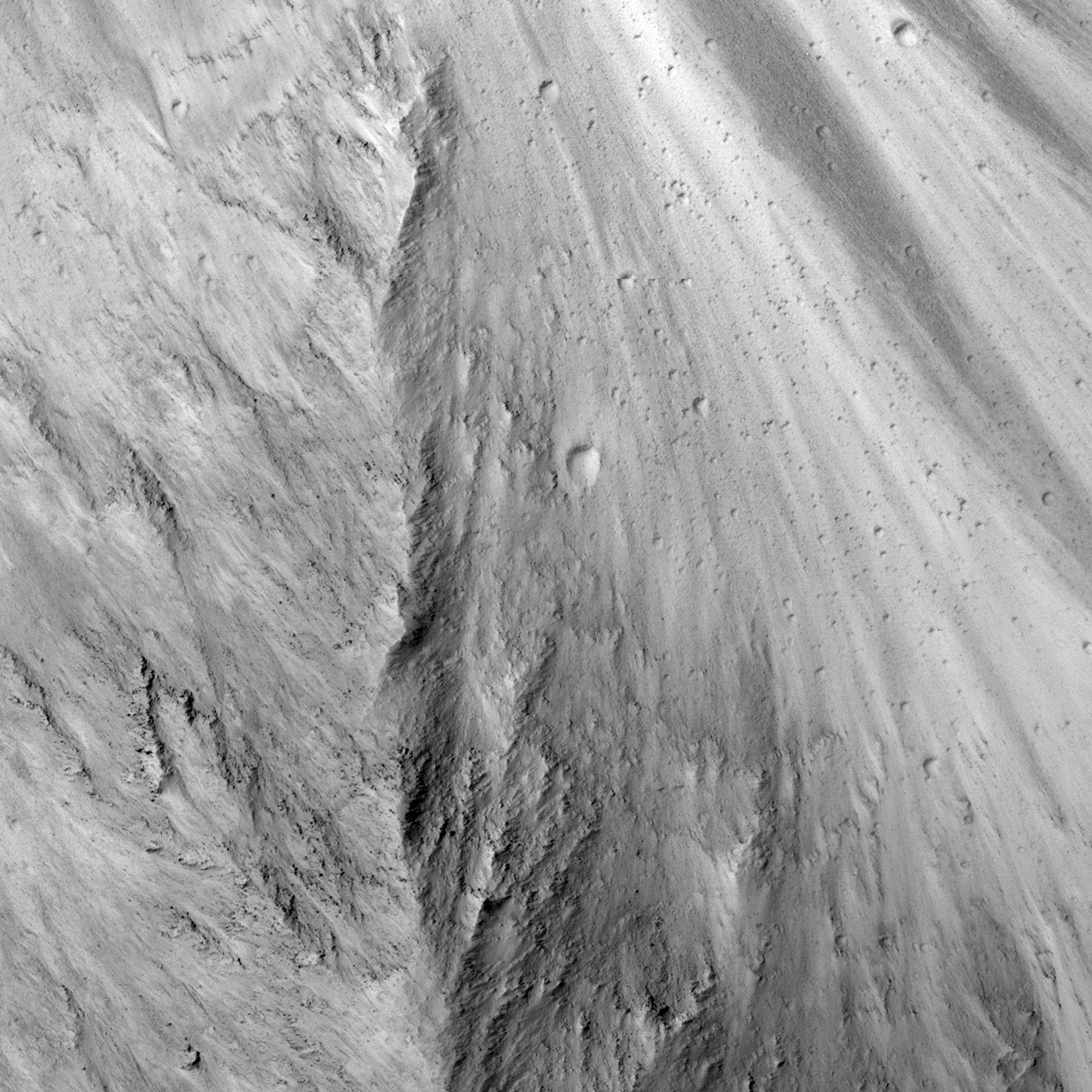 Highlighted Portion of HiRISE Image TRA_000862_1710
This HiRISE sub-image shows the steep slopes along wallrock in the eastern edge of West Candor Chasma. In general, the rocks in the upper part of the canyons are interpreted to be lava flows that cover the plains surrounding Valles Marineris, whereas the deeper material along the walls could be either more lava flows or megaregolith that resulted from numerous impact craters that disrupted the Martian surface during the first billion years after formation of the planet. Resistant material is visible in portions of the sub-image and HiRISE is able to resolve 1-2 meter size boulders shedding out of these resistant wallrock units. The bright and dark lineations seen in the right of the sub-image follow the slope of the wallrock (downslope is towards the top of the sub-image) and likely represent bright dust and dark sand that are sliding downslope. The large number of small impact craters visible along the slopes indicates that there isn't a large amount of material moving downslope recently because these craters would have been destroyed or buried.
Image TRA_000862_1710 was taken by the High Resolution Imaging Science Experiment (HiRISE) camera onboard the Mars Reconnaissance Orbiter spacecraft on October 2, 2006. The complete image is centered at -8.8 degrees latitude, 295.6 degrees East longitude. The range to the target site was 257.6 km (161.0 miles). At this distance the image scale ranges from 25.8 cm/pixel (with 1 x 1 binning) to 103.1 cm/pixel (with 4 x 4 binning). The image shown here [below] has been map-projected to 25 cm/pixel and north is up. The image was taken at a local Mars time of 3:29 PM and the scene is illuminated from the west with a solar incidence angle of 60 degrees, thus the sun was about 30 degrees above the horizon. At a solar longitude of 114.9 degrees, the season on Mars is Northern Summer.
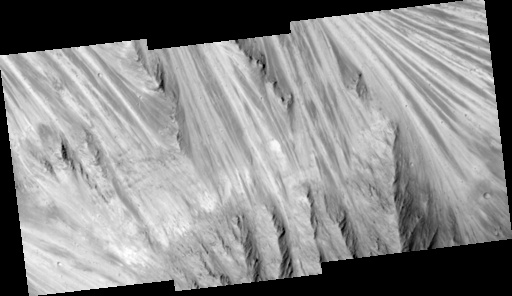
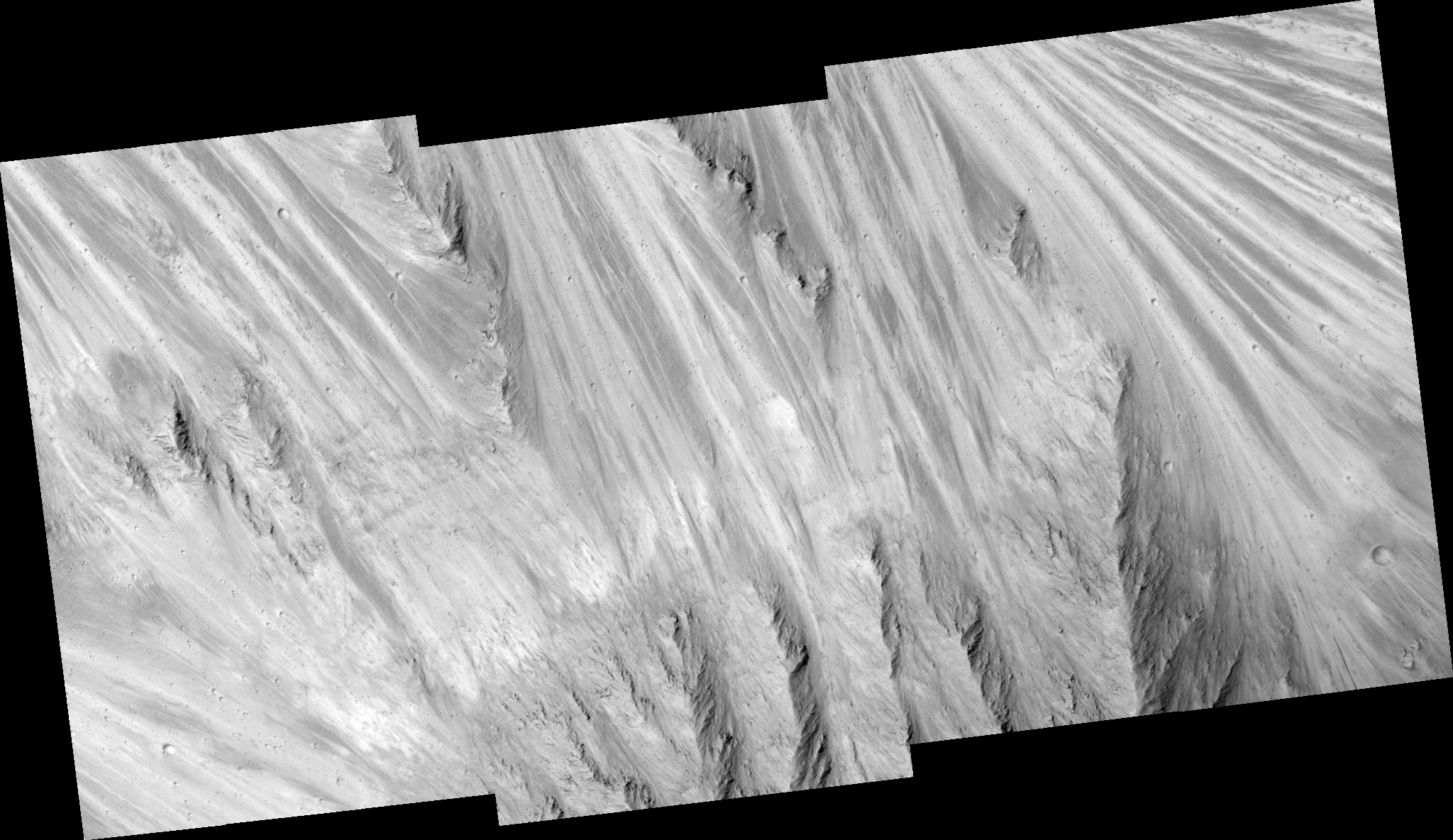 HiRISE Image TRA_000862_1710
Images from the High Resolution Imaging Science Experiment and additional information about the Mars Reconnaissance Orbiter are available online at:
http://hirise.lpl.arizona.edu/
or
For information about NASA and agency programs on the Web, visit: http://www.nasa.gov. NASA's Jet Propulsion Laboratory, a division of the California Institute of Technology in Pasadena, manages the Mars Reconnaissance Orbiter for NASA's Science Mission Directorate, Washington. Lockheed Martin Space Systems is the prime contractor for the project and built the spacecraft. The HiRISE camera was built by Ball Aerospace and Technology Corporation and is operated by the University of Arizona.