Landforms Within Marte Valles
 Highlighted Portion of HiRISE Image TRA_000853_1900
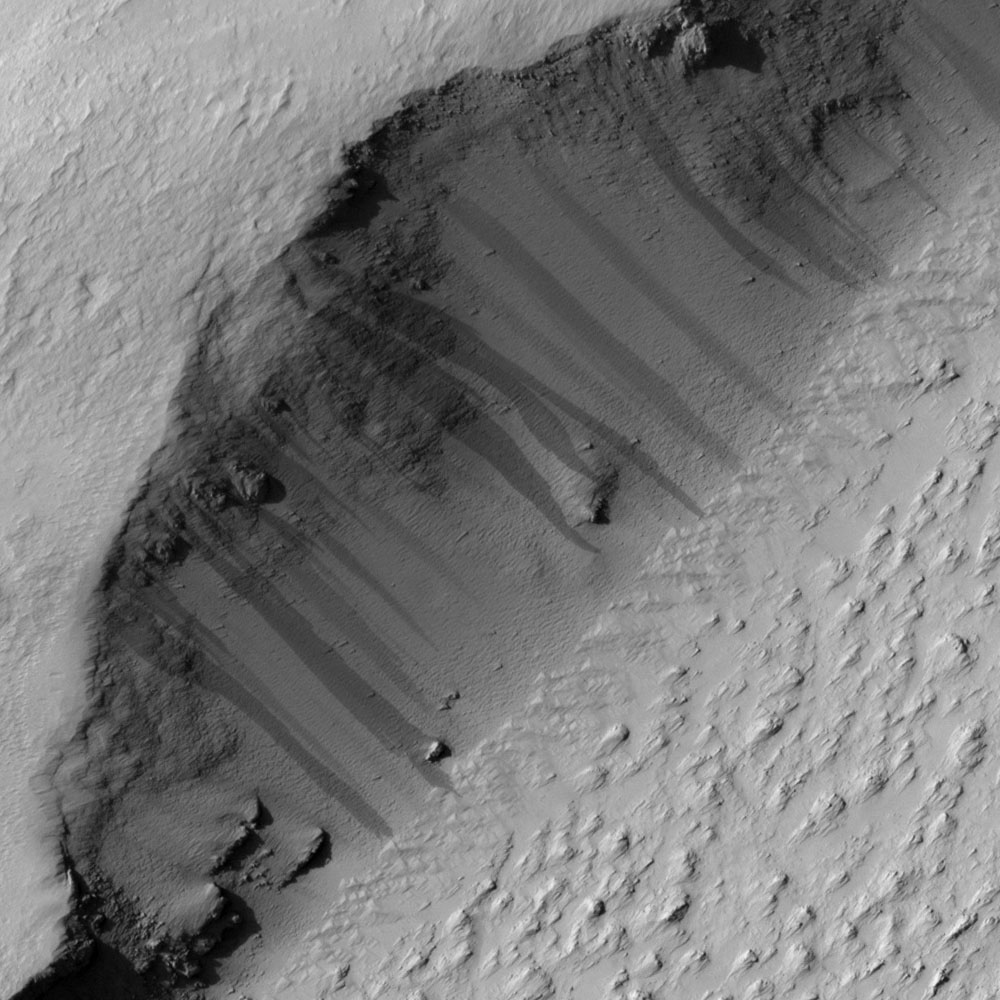
Marte Vallis is a relatively young channel system on Mars that was carved by catastrophic floods of water. The HiRISE image samples just a small part of the valley system, but captures a variety of different landforms. The mesa in the eastern half of the image is a remnant of the pre-flood surface while the valley floor is covered by a surface with plates and ridges. We highlight a piece from the southeastern portion of this HiRISE image, along the edge of the mesa. Some of the most striking features in this area are the dark streaks streaming down the cliff face. These mark locations where the layer of dust has been removed, exposing the darker surface underneath. The details of this cleaning process are not well-understood, but are thought to be driven by avalanches of dust. These avalanches appear to be more capricious than typical landslides or mudslides—they are sometimes able to surmount some large obstacles but in other cases are deflected by relatively small boulders. The darkness of the streaks vary, which suggests that they formed at different times. These streaks are expected to gradually fade as more dust will be deposited in the future. However, such fading has yet to be observed. The role of dust is also clearly evident on the floor of the valley. The fluted mounds are characteristic of a thick dust deposit that is being gradually stripped away by wind. This extensive dust cover complicates any attempt to understand the details of the floods that carved the valley and the processes that formed the plates and ridges on the floor.
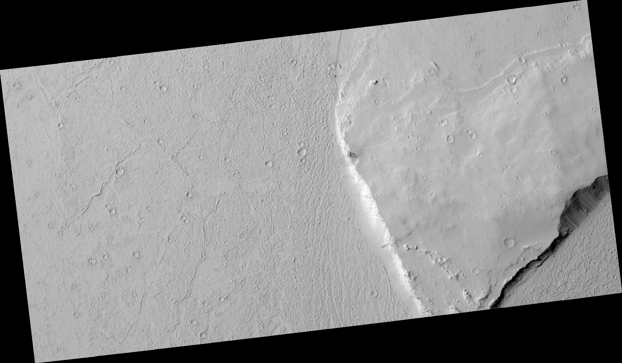
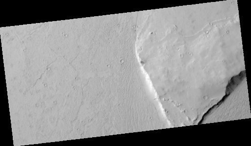
Image TRA_000853_1900 was taken by the High Resolution Imaging Science Experiment (HiRISE) camera onboard the Mars Reconnaissance Orbiter spacecraft on October 1, 2006. The complete image is centered at 10.0 degrees latitude, 178.9 degrees East longitude. The range to the target site was 277.5 km (173.4 miles). At this distance the image scale is 55.5 cm/pixel (with 2 x 2 binning) so objects ~167 cm across are resolved. The image shown here [below] has been map-projected to 50 cm/pixel and north is up. The image was taken at a local Mars time of 3:26 PM and the scene is illuminated from the west with a solar incidence angle of 51 degrees, thus the sun was about 39 degrees above the horizon. At a solar longitude of 114.6 degrees, the season on Mars is Northern Summer.
 HiRISE Image TRA_000853_1900
Images from the High Resolution Imaging Science Experiment and additional information about the Mars Reconnaissance Orbiter are available online at:
http://hirise.lpl.arizona.edu/
or
For information about NASA and agency programs on the Web, visit: http://www.nasa.gov. NASA's Jet Propulsion Laboratory, a division of the California Institute of Technology in Pasadena, manages the Mars Reconnaissance Orbiter for NASA's Science Mission Directorate, Washington. Lockheed Martin Space Systems is the prime contractor for the project and built the spacecraft. The HiRISE camera was built by Ball Aerospace and Technology Corporation and is operated by the University of Arizona.