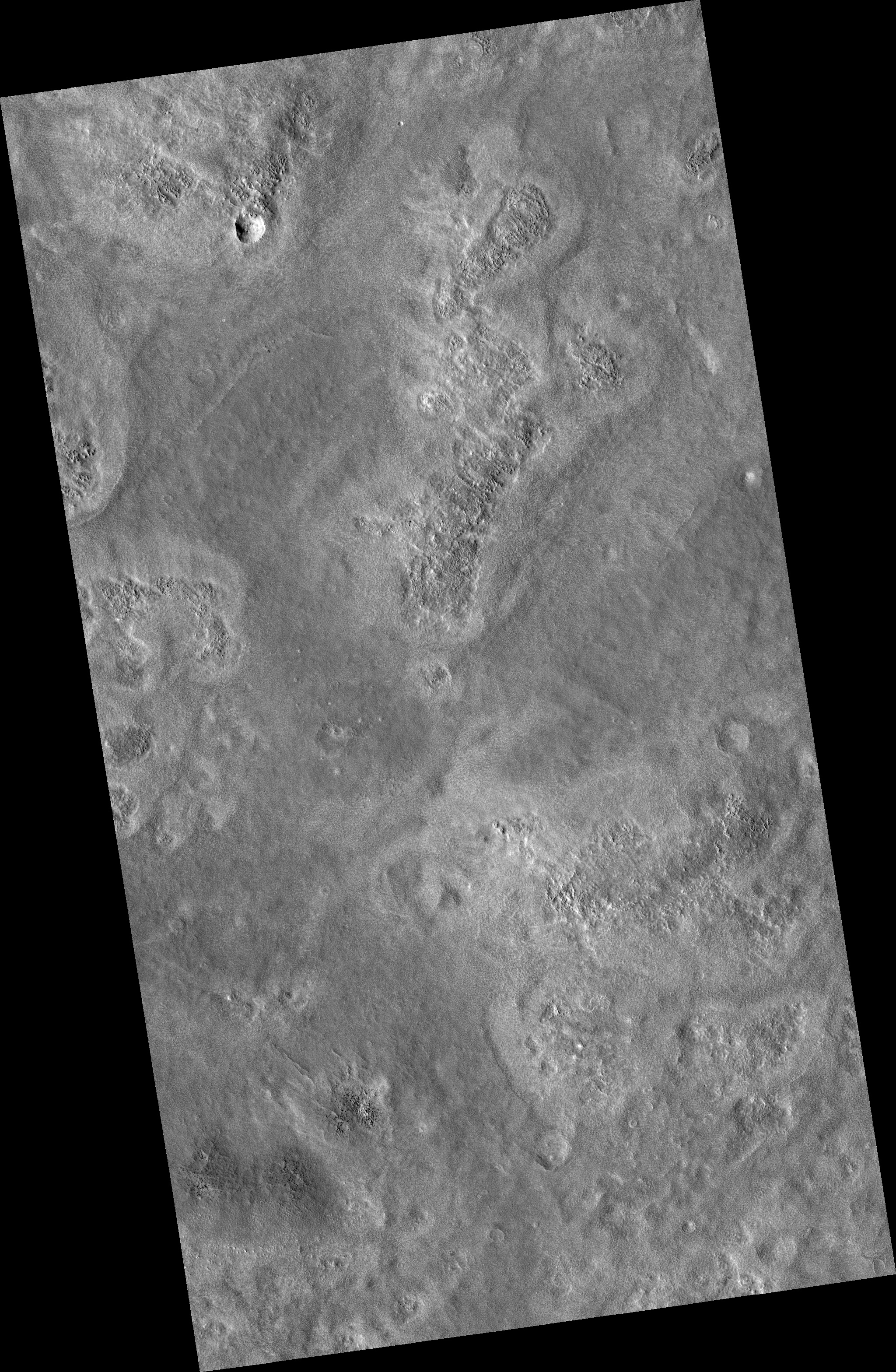
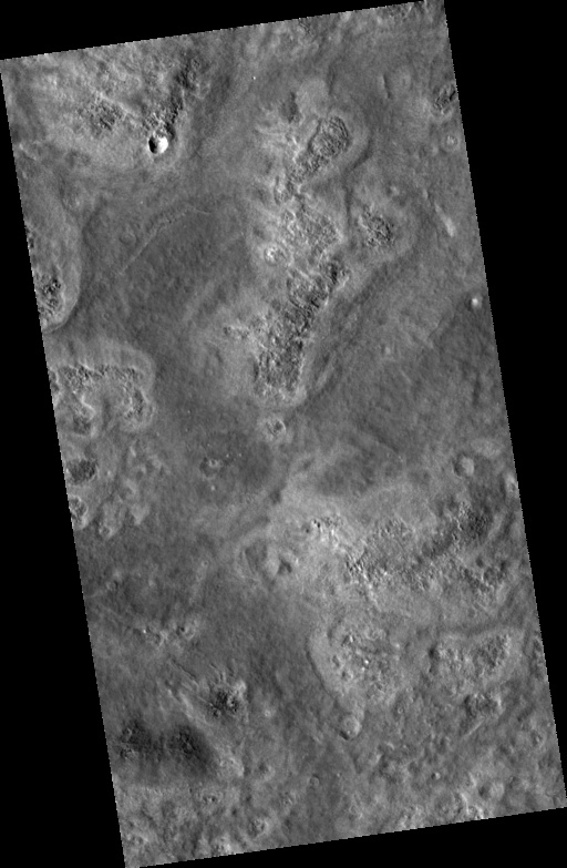
Plains West of Viking Lander 2
 HiRISE Image PSP_001435_2280
Image PSP_001435_2280 was taken by the High Resolution Imaging Science Experiment (HiRISE) camera onboard the Mars Reconnaissance Orbiter spacecraft on November 16, 2006. The complete image is centered at 47.7 degrees latitude, 134.0 degrees East longitude. The range to the target site was 316.0 km (197.5 miles). At this distance the image scale is 31.6 cm/pixel (with 1 x 1 binning) so objects ~95 cm across are resolved. The image shown here has been map-projected to 25 cm/pixel and north is up. The image was taken at a local Mars time of 3:11 PM and the scene is illuminated from the west with a solar incidence angle of 49 degrees, thus the sun was about 41 degrees above the horizon. At a solar longitude of 136.2 degrees, the season on Mars is Northern Summer.
Images from the High Resolution Imaging Science Experiment and additional information about the Mars Reconnaissance Orbiter are available online at:
http://hirise.lpl.arizona.edu/
or
For information about NASA and agency programs on the Web, visit: http://www.nasa.gov. NASA's Jet Propulsion Laboratory, a division of the California Institute of Technology in Pasadena, manages the Mars Reconnaissance Orbiter for NASA's Science Mission Directorate, Washington. Lockheed Martin Space Systems is the prime contractor for the project and built the spacecraft. The HiRISE camera was built by Ball Aerospace and Technology Corporation and is operated by the University of Arizona.