North Polar Layered Deposits
 HiRISE Image PSP_001365_2720
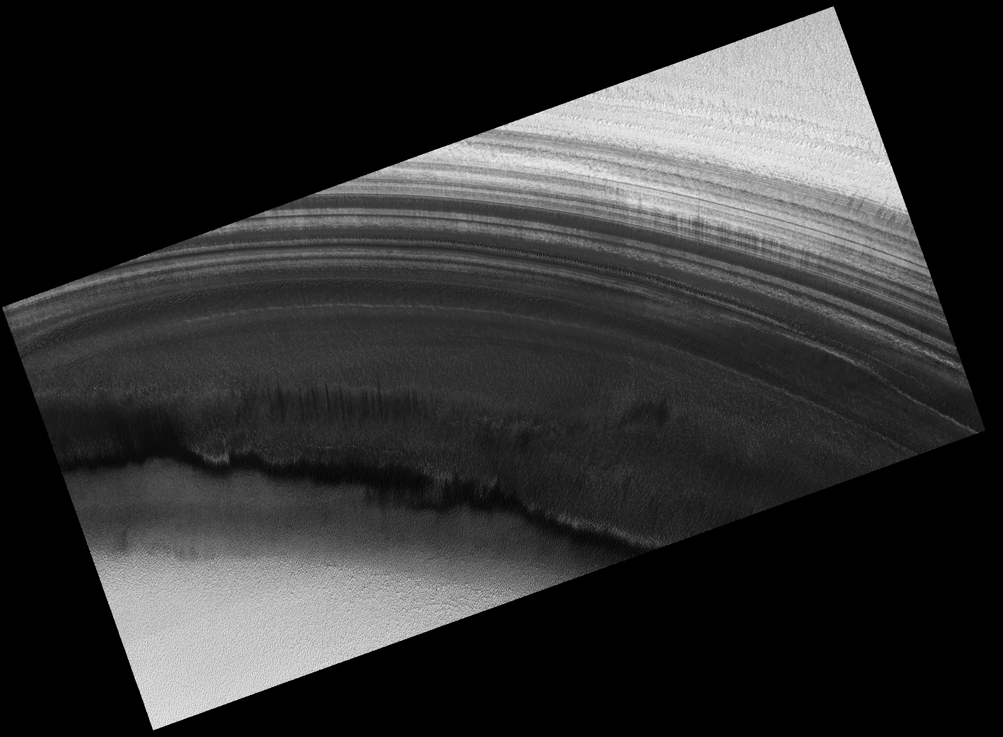
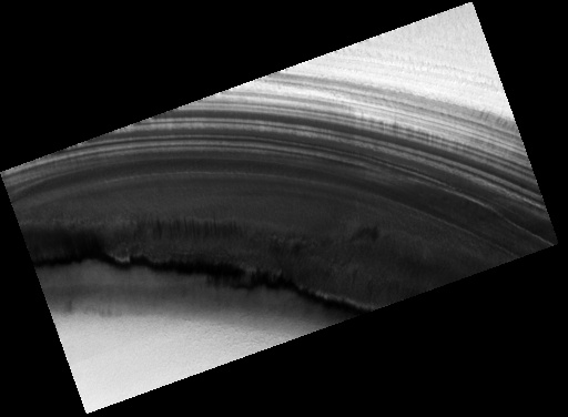
This image shows an exposure of the north polar layered deposits (dark) and adjacent residual ice cap (bright) in an area that has not been well observed by previous Mars orbiters. It is one of a stereo pair of images that can be used to accurately measure the topography of this exposure of polar layered deposits and the residual ice. Topographic information is needed to measure the slopes and thickness of individual layers, which are thought to record Martian climate variations, similar to ice ages on Earth. Topographic information can also be used to determine whether the bright and dark banding that highlights the layers in places is caused by various amounts of water frost. Detailed comparison of this image with its stereo pair (taken one Mars day later, PSP_001379_2680) will show whether there were any rapid changes in frost distribution. Spacecraft orbits around Mars are often designed to be "sun synchronous," so that targets on the surface are always visible at the same time of day. A sun-synchronous orbit does not quite pass over the Martian poles, so that the areas within 3 degrees (latitude) of each pole cannot be observed without rolling the entire spacecraft to one side. The Mars Global Surveyor and 2001 Mars Odyssey spacecraft typically keep their instruments pointing straight down at Mars, so that there is a gap in image and topographic data within 180 km (110 miles) of each pole. The Mars Reconnaissance Orbiter is designed to be able to frequently roll off nadir, making it easier to observe high-latitude targets such as the one shown in this image. The HiRISE team has therefore initiated a campaign to image specific targets near the north pole in stereo.
Image PSP_001365_2720 was taken by the High Resolution Imaging Science Experiment (HiRISE) camera onboard the Mars Reconnaissance Orbiter spacecraft on November 10, 2006. The complete image is centered at 88.1 degrees latitude, 135.6 degrees East longitude. The range to the target site was 319.4 km (199.6 miles). At this distance the image scale is 63.9 cm/pixel (with 2 x 2 binning) so objects ~192 cm across are resolved. The image shown here has been map-projected to 50 cm/pixel. The image was taken at a local Mars time of 8:11 AM and the scene is illuminated from the west with a solar incidence angle of 71 degrees, thus the sun was about 19 degrees above the horizon. At a solar longitude of 133.5 degrees, the season on Mars is Northern Summer.
Images from the High Resolution Imaging Science Experiment and additional information about the Mars Reconnaissance Orbiter are available online at:
http://hirise.lpl.arizona.edu/
or
For information about NASA and agency programs on the Web, visit: http://www.nasa.gov. NASA's Jet Propulsion Laboratory, a division of the California Institute of Technology in Pasadena, manages the Mars Reconnaissance Orbiter for NASA's Science Mission Directorate, Washington. Lockheed Martin Space Systems is the prime contractor for the project and built the spacecraft. The HiRISE camera was built by Ball Aerospace and Technology Corporation and is operated by the University of Arizona.