North Polar Cliff
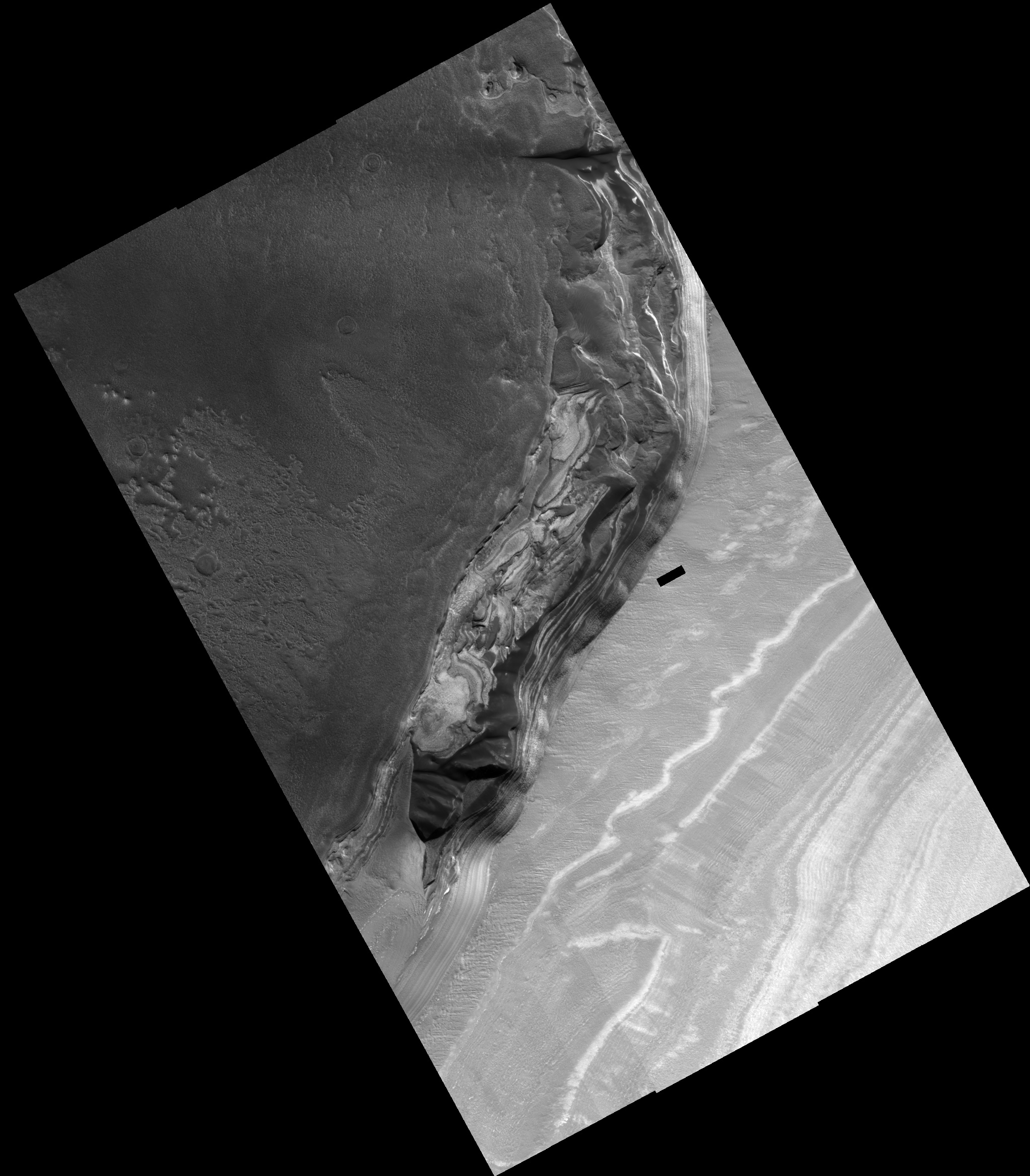 HiRISE Image PSP_001334_2645
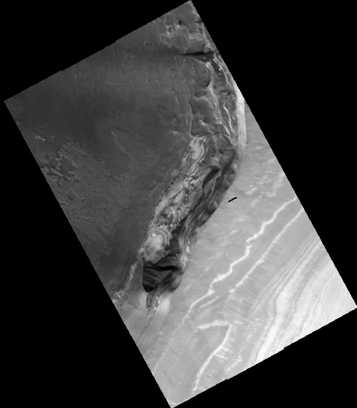
This full HiRISE image shows a cliff-face that has been eroded into the ice-rich polar layered deposits at the head of the large canyon, Chasma Boreale. In a similar way to layers in the Earth's ice caps, these Martian layers are thought to record variations in climate, which makes them very interesting to scientists. This particular cliff-face is several hundred meters high and the layers exposed here are the deepest (and so the oldest) in the polar layered deposits. The lower layers exposed in this scarp appear to be rich in dark sand, and erosion of these layers has produced the sand dunes that cover sections of this cliff-face. A close examination of the layers in the center of the image shows they have curved shapes and intersect each other. Scientists call this cross-bedding and it may indicate that these sandy layers were laid down as a large dunefield before being buried. At the bottom of the image, the floor of Chasma Boreale in this area appears to have been swept clean of sandy material. There is a complex history of erosion and deposition of material at this location. On the right of the image one can see a smooth material that covers the lower layers and which must have been deposited after the main cliff face was initially eroded. Closer to the center of the image, this smooth mantling material is in turn being eroded away to once again expose the layers beneath it.
Image PSP_001334_2645 was taken by the High Resolution Imaging Science Experiment (HiRISE) camera onboard the Mars Reconnaissance Orbiter spacecraft on November 8, 2006. The complete image is centered at 84.4 degrees latitude, 343.5 degrees East longitude. The range to the target site was 317.4 km (198.4 miles). At this distance the image scale ranges from 31.8 cm/pixel (with 1 x 1 binning) to 63.5 cm/pixel (with 2 x 2 binning). The image shown here has been map-projected to 25 cm/pixel. The image was taken at a local Mars time of 1:38 PM and the scene is illuminated from the west with a solar incidence angle of 67 degrees, thus the sun was about 23 degrees above the horizon. At a solar longitude of 132.3 degrees, the season on Mars is Northern Summer.
Images from the High Resolution Imaging Science Experiment and additional information about the Mars Reconnaissance Orbiter are available online at:
http://hirise.lpl.arizona.edu/
or
For information about NASA and agency programs on the Web, visit: http://www.nasa.gov. NASA's Jet Propulsion Laboratory, a division of the California Institute of Technology in Pasadena, manages the Mars Reconnaissance Orbiter for NASA's Science Mission Directorate, Washington. Lockheed Martin Space Systems is the prime contractor for the project and built the spacecraft. The HiRISE camera was built by Ball Aerospace and Technology Corporation and is operated by the University of Arizona.