Candor Chasma
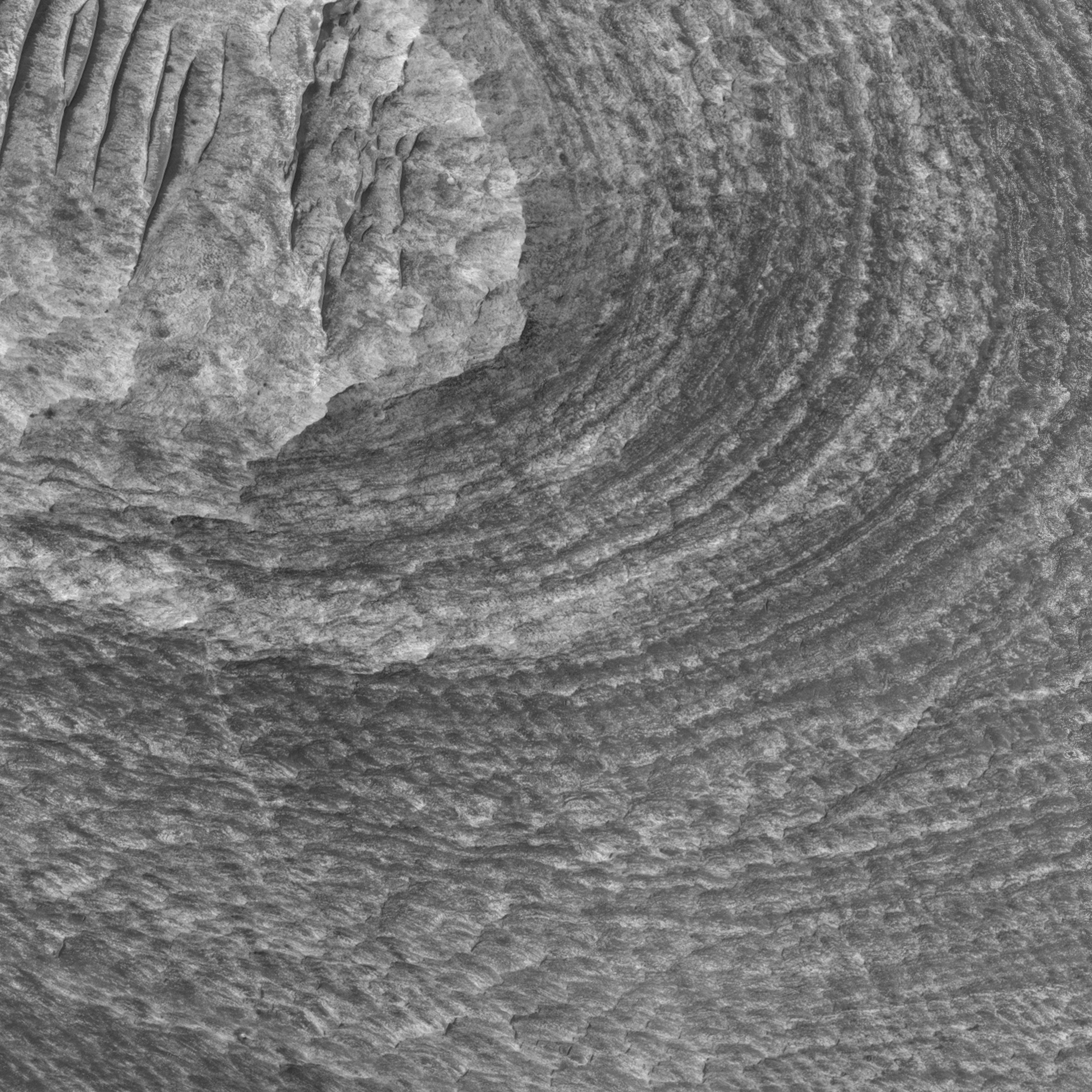 Highlighted Portion of HiRISE Image TRA_000836_1740
Candor Chasma is one of several large troughs that make up Valles Marineris, the largest canyon system in the Solar System. Much of Candor Chasma is filled with layered deposits, like those shown in this HiRISE sub-image. Layers only 1-2 meters thick can be resolved by HiRISE and provide details on the processes that emplaced and modified these sediments. The layered deposits could be volcanic, lacustrine, or eolian sediments that filled in some portions of the trough of Valles Marineris. The variations in brightness of the layers could represent compositional differences in the layers or the thickness of overlying debris, such as sand or dust. This area was targeted because minerals rich in sulfur were detected here by the OMEGA instrument on Mars Express. By using HiRISE images to look at specific geologic units that correspond to these locations of sulfate, it may be possible to determine the origin of the sediments, particularly those that contain the sulfates. The paucity of impact craters on the layered deposits suggests either a young age for the sediments or erosion has removed much of the upper layers to reveal a fresher-looking surface. Dark dunes and ripples indicate that wind has been, and still may be, moving debris across the sedimentary deposits.
Image TRA_000836_1740 was taken by the High Resolution Imaging Science Experiment (HiRISE) camera onboard the Mars Reconnaissance Orbiter spacecraft on September 30, 2006. The complete image is centered at -5.7 degrees latitude, 284.6 degrees East longitude. The range to the target site was 262.3 km (163.9 miles). At this distance the image scale ranges from 26.2 cm/pixel (with 1 x 1 binning) to 105.0 cm/pixel (with 4 x 4 binning). The image shown here [below] has been map-projected to 25 cm/pixel and north is up. The image was taken at a local Mars time of 3:28 PM and the scene is illuminated from the west with a solar incidence angle of 58 degrees, thus the sun was about 32 degrees above the horizon. At a solar longitude of 114.0 degrees, the season on Mars is Northern Summer.
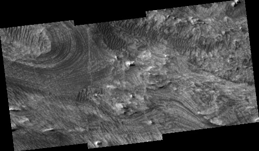
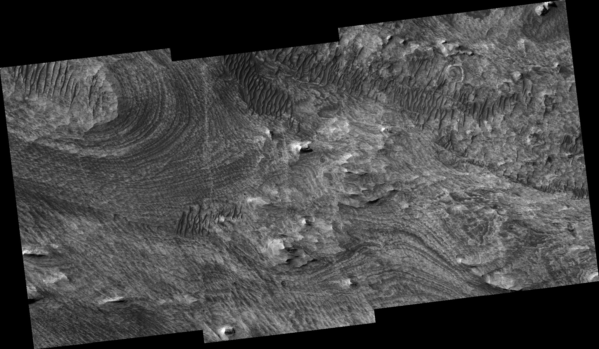 HiRISE Image TRA_000836_1740
Images from the High Resolution Imaging Science Experiment and additional information about the Mars Reconnaissance Orbiter are available online at:
http://hirise.lpl.arizona.edu/
or
For information about NASA and agency programs on the Web, visit: http://www.nasa.gov. NASA's Jet Propulsion Laboratory, a division of the California Institute of Technology in Pasadena, manages the Mars Reconnaissance Orbiter for NASA's Science Mission Directorate, Washington. Lockheed Martin Space Systems is the prime contractor for the project and built the spacecraft. The HiRISE camera was built by Ball Aerospace and Technology Corporation and is operated by the University of Arizona.