Glacial Processes Theme Description
Lead: Mike Mellon •
Images in this theme
Mars is globally covered with permafrost, where soil temperatures are permanently below the freezing point of water. Bitter cold
temperatures dominate the Martian equatorial regions, with an annual-mean temperature of the soil colder than -50 C, and colder
still at middle and high latitudes. Therefore, any water present in the Martian soil or atop the soil surface must be in the form
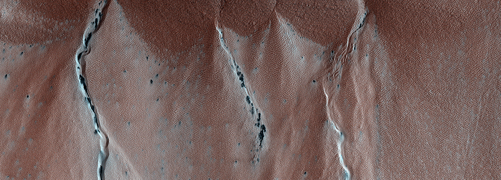
of ice. Icy-soil and surface-ice deposits influence the formation of Martian landforms, much as they do on Earth. Glacial deposits
form characteristic flow features that indicate thick piles of water ice in a slow viscous motion, even when they are covered by
dust and soil hiding the bright ice. Periglacial landforms are features found commonly on the margins of glaciers, where icy soil
plays the most important role. Incredibly regular polygonal patterns, sorted stone circles and ridges, collapse pits and scalloped
scarps, and smooth ice-cored mounds, commonly dot terrestrial landscapes. They form naturally as ice in the pore space between soil
grains undergoes seasonal melting freezing cycles, or thermal expansion and contraction cycles. Early images of Mars from the Viking
orbiters revealed a wide array of large scale features of a potentially glacial or periglacial origin at low resolution. Mars Global
Surveyor provided greater details, but many of the diagnostic shapes and textures are typically only a meter in scale. HiRISE provides
us with a new window to observe these features.
Major science questions for this theme.
What is the distribution of water ice in the Martian subsurface? The distribution of periglacial landforms allows us to globally map
ice deposits. What is the history of surface ice deposits and the Martian climate?
Climate cycles on Mars, similar to Earth's ice ages, could have resulted in glacial deposits, potentially anywhere on Mars in the past,
thus relic landforms hint at the past, and at the history of water on Mars. Is ice accessible for future exploration? Some periglacial
landforms reveal hidden ice in the subsurface that can be sampled and analyzed by future landed spacecraft or even future human explorers.
Relationship to other science themes.
The comings and goings of ice in the Martian environment relates to a wide range of landforms and other natural processes and nearly
every other science theme. Melting of surface and subsurface ice deposits may lead to the formation of rivers and streams and other
fluvial features if enough water is released to erode the surface. Likewise, evaporation of buried ice results in collapse, erosion, and
general mass wasting of the surface. Water frosts come and go on Mars, an integral part of seasonal processes and the longer climate cycles
that form glacial and periglacial features. The polar deposits of Mars comprise enormous glacial masses of ice. Volcanic flows can interact
with ice to create special landforms through steam explosions and chilling fluid lavas.
Features of interest potentially visible at HiRISE scale.
Much of the middle and higher latitudes of Mars exhibit polygonal patterns tens of meters across, rather like a giant honeycomb exposed
at the surface. Thermal contraction polygons are the most common periglacial feature on Earth, the results of seasonal cracking of
ice-cemented soils. Polygon size, intersection angles, and trough depth are all clues to their origin and age. Such characteristics can distinguish
permafrost polygonal patterns from other polygon-forming processes such as giant mud cracks or lava cooling cracks.